Above America
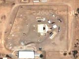
There's a new blog around calling itself Google Sightseeing, posting screen grabs of some of the cool stuff you can see using this new feature.
Perhaps you would like to see where the americans test their nuclear weapons? That's not the only place that has been blown away. Ouch.